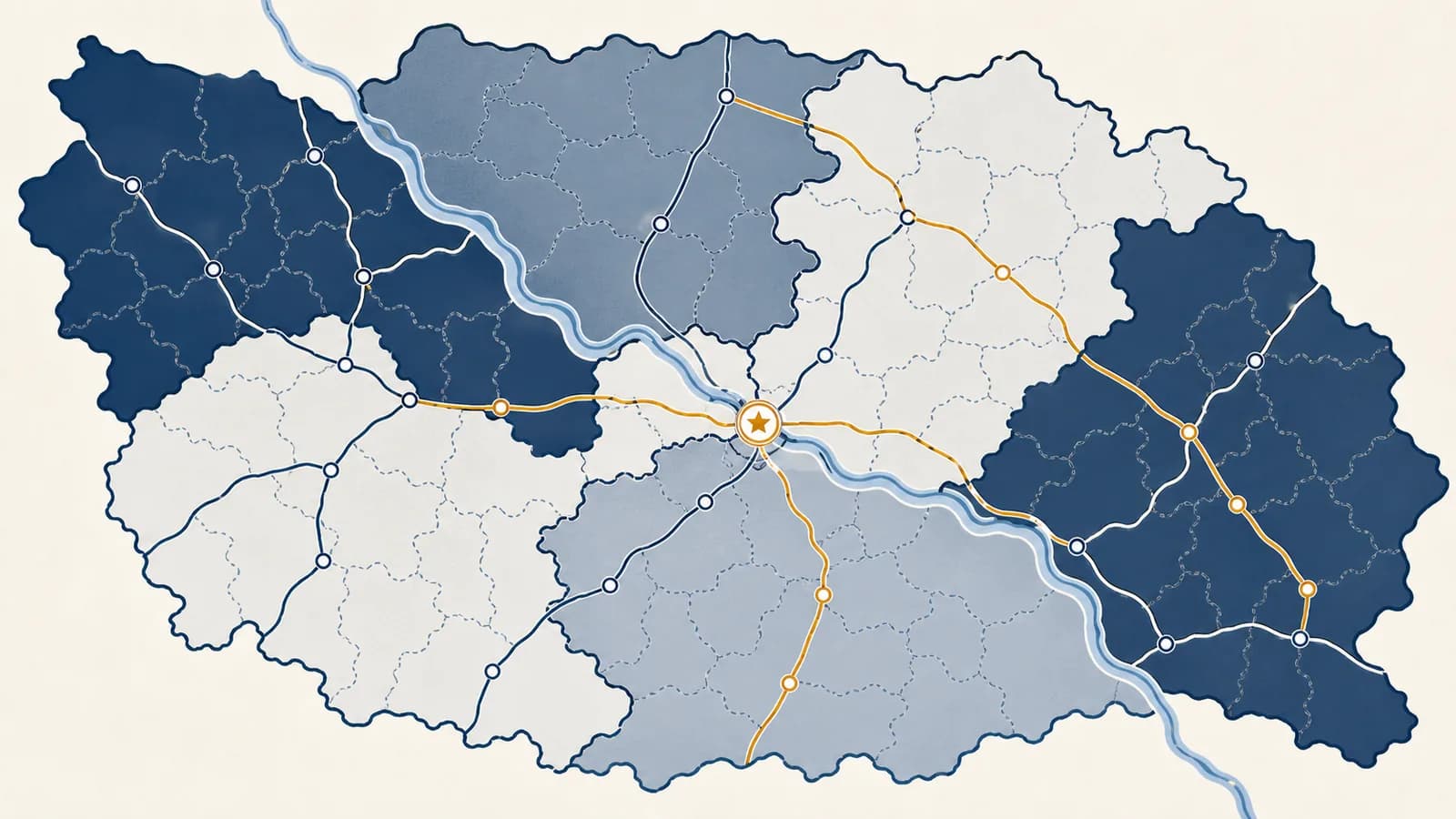
Political geography is a branch of human geography that explains how power organizes territory, borders, states, and political behavior across space. It asks how countries form, how boundaries work, why governments control some places more effectively than others, and how location affects elections, conflict, trade, migration, and public services. The idea exists because political decisions always happen somewhere: laws apply within mapped jurisdictions, votes are counted in districts, and access to land or sea changes what governments can do.
A line on a map can decide which court hears a case, which passport a child receives, which school receives tax money, and which police force answers a call. Yet the line alone has no power. Its effects come from institutions, recognition, enforcement, and the choices of people living around it. Political geography studies that complete system rather than treating the map as a finished picture.
What political geography actually is
Political geography is the study of the spatial organization of power. It connects political units such as states, provinces, cities, and electoral districts to territory, population, resources, networks, identity, and the institutions that make geographic claims effective.
The field works at several scales. At the global scale, it examines relations among states, international organizations, oceans, and disputed regions. At the national scale, it looks at capitals, administrative regions, and uneven government control. At the local scale, it studies voting districts, zoning decisions, school boundaries, policing, and access to public services.
Three questions organize much of the subject. Who has authority? identifies the people or institution making a decision. Where does that authority apply? identifies the territory or network involved. How is the claim made real? identifies laws, public consent, records, money, infrastructure, or force. A complete explanation needs all three.
Power becomes geographic when it is attached to a place. A government does not simply pass a tax law; it defines the people, property, transactions, and jurisdiction to which that law applies.
Political geography overlaps with political science, but the two fields usually start in different places. Political science often begins with institutions, behavior, and ideas. Political geography begins with spatial patterns and asks how distance, boundaries, scale, and location shape those institutions and behaviors.
What states, nations, and sovereignty actually are
A state is a political unit that claims authority over a territory and population, while a nation is a community connected by a shared identity. Sovereignty is the state’s claim to make final rules within its territory and act independently outside it.
In everyday speech, country, state, and nation are often used as if they mean the same thing. They do not. A state has governing institutions and a territorial claim. A nation depends on collective identity, which may draw on language, history, religion, culture, or political memory. A nation can extend across several states, and one state can contain several national groups.
A territorial political organization with institutions that make and enforce rules. France and Brazil are states because they have governments, defined territorial claims, and relations with other states.
A population whose members understand themselves as a political or cultural community. National identity can exist without an independent state or can be shared by people living on opposite sides of a border.
A nation-state is the ideal of a state whose territory closely matches the homeland of one nation. Few actual states fit it perfectly because populations move, identities overlap, and borders rarely sort people into tidy cultural units. The term is useful as a model, not as a description of every country.
Sovereignty also has two sides. Internal sovereignty concerns whether a government can actually administer law in its claimed territory. External sovereignty concerns recognition by other states and participation in international relations. A government may possess one more securely than the other. Recognition can open access to diplomacy and international bodies, but it does not automatically produce effective control on the ground.
How territorial power works
Territorial power works by turning a geographic claim into repeated administration. Authorities map an area, identify people and property, create jurisdictions, collect information and revenue, provide services, settle disputes, and enforce decisions until the territory functions as one governed space.
A constitution, treaty, law, survey, or map states where authority is supposed to apply. Coordinates and property records make the claim specific enough to administer.
Provinces, municipalities, court circuits, school systems, and electoral districts give different offices manageable areas of responsibility.
Censuses, addresses, land registries, licenses, and tax records tell institutions who and what is located inside each jurisdiction.
Roads, ports, communications, courts, and administrative offices allow orders, workers, money, and information to move between the center and other places.
Rules become effective through a mixture of public legitimacy, routine compliance, benefits, negotiation, penalties, policing, and sometimes military force.
These steps explain why a state can color a region on a map yet govern it unevenly. A remote mountain district may be legally inside the state but difficult to reach, survey, police, or supply. An urban neighborhood near the capital may have much denser government services. Formal territory is continuous; administrative capacity is not.
Networks can alter the effect of distance. A paved road may connect a distant settlement to the capital more effectively than a nearby village separated by a river and poor transport. This is why how transport routes connect places belongs inside the analysis of political control, not outside it.
The flow can also run backward. Failed services reduce trust, missing records weaken taxation, and weak revenue limits the next round of administration. Political control is therefore a continuing geographic process, not a box that a government checks once.
How borders and boundaries work
Borders work by marking where one territorial authority ends and another begins. Their location comes from agreements, conflict, surveying, or administrative decisions, while their practical effect comes from checkpoints, documents, law, infrastructure, and cooperation on both sides.
A boundary is the legal line separating jurisdictions. A border can also mean the wider zone where the effects of that line are experienced. A boundary may be represented by coordinates with no wall at all. Conversely, a checkpoint may stand several kilometres from the legal line because that is where a road, building, or safe inspection area exists.
Delimitation puts the agreement into words
Delimitation is the legal description of a boundary in a treaty, judgment, or statute. It might follow a named river, a watershed, a latitude, or a sequence of coordinates. Ambiguous language becomes dangerous when rivers shift, maps use different datums, or the named physical feature has several possible interpretations.
Demarcation puts the line on the ground
Demarcation is the physical marking of a delimited boundary with pillars, fences, cleared strips, signs, or surveyed points. It translates legal text into visible locations. Maintenance matters because markers can decay, disappear, or be moved.
Administration decides what may cross
Border administration controls flows of people, goods, money, animals, and information. Different agencies may check passports, collect customs duties, inspect food, enforce sanctions, or process asylum claims. The border is selective: it can be easy for a permitted shipment to cross and difficult for a person lacking accepted documents.
A river forms a boundary between two jurisdictions. A flood gradually shifts the main channel. Officials must ask what the legal text specified: the current channel, the channel at the date of the agreement, or fixed surveyed coordinates. Physical change alone does not settle the legal boundary.
Borders can be open for some purposes and restrictive for others. Neighboring governments may allow daily commuters to cross while inspecting agricultural products. They may share a water system but maintain separate tax rules. Calling a border simply “open” or “closed” hides the different rules applied to different movements.
Territory versus jurisdiction
Territory is the geographic area over which authority is claimed, while jurisdiction is the legal power to decide a particular type of case. The two often overlap, but jurisdiction can be divided by subject, level of government, person, or activity.
A city, a state or province, and a national government can all exercise authority in the same location. Their jurisdictions differ. The city may manage land use and local streets, the regional government may run schools or hospitals, and the national government may control passports and customs. One physical point can therefore sit inside several political geographies at once.
One government controls every important decision uniformly inside a neat outline, and a sharp change occurs at the edge.
Authority is layered among institutions, varies by policy, and can weaken with distance, difficult terrain, missing infrastructure, or contested legitimacy.
Some jurisdictions are functional rather than compact. A water authority may cover a river basin because upstream decisions affect downstream users. A transit authority may join several municipalities because commuters cross local borders every morning. The most useful boundary for one task may be a poor boundary for another.
Territorial waters provide another example. Coastal authority does not end automatically at the beach, and different maritime zones carry different rights under international law. Fishing, navigation, seabed resources, and environmental protection may each involve a different legal rule. The geographic question is not only “whose water is this?” but “which rights apply here, to whom, and for what activity?”
How scale changes a political explanation
Geographic scale changes which pattern is visible and which cause seems strongest. A result that appears uniform on a national map may contain sharp regional or neighborhood differences, while local events may depend on national law or global economic pressure.
Suppose national election results show two large political blocs. A provincial map may reveal that support differs between industrial regions, farming districts, and major cities. A neighborhood map may then show differences associated with housing cost, age structure, or local history. None of the maps is automatically the “true” one. Each answers a different question.
The same rule applies to causes. A factory closure is a local event for its workers, a regional change in the tax base, a national policy issue, and part of an international production network. Explaining only one scale can mistake a symptom for a cause. The geography of how global connections reorganize local places helps show why distant decisions can have concentrated political effects.
- Local scale: streets, service areas, zoning, and polling places.
- Regional scale: provinces, labor markets, river basins, and transport corridors.
- National scale: constitutions, borders, taxation, and redistribution.
- Global scale: treaties, trade systems, migration routes, and climate negotiations.
Scale is also political because institutions choose it. A government may report unemployment nationally, even though one region bears most of it. A city may publish average service times, even though peripheral districts wait longer. Changing the unit of analysis can reveal an inequality without changing any underlying event.
How political geography shows up in elections, resources, and conflict
Political geography shapes elections, resource decisions, urban services, and conflict by deciding which authority controls each place and how spatial patterns distribute influence. Boundaries and networks can direct votes, tax revenue, water, infrastructure, and security toward some communities rather than others.
How political geography shows up in elections
Elections acquire a geography through district boundaries, the placement of polling sites, rules for translating votes into seats, and the uneven distribution of voters. The same total votes can produce different representation when voters are grouped differently across space.
Consider a fictional region with 400 voters and four single-member districts, each containing 100 voters. The Orange Party has 220 supporters and the Blue Party has 180. If Orange supporters are spread with 55 in every district, Orange wins all four seats. If many Orange supporters are concentrated in two districts, Blue can win the other two. The total support has not changed; the geographic arrangement has.
| District | Orange voters | Blue voters | Seat winner |
|---|---|---|---|
| 1 | 90 | 10 | Orange |
| 2 | 80 | 20 | Orange |
| 3 | 25 | 75 | Blue |
| 4 | 25 | 75 | Blue |
In this arrangement, Orange receives 220 of 400 votes, or 55 percent, but wins only half the seats. The example does not prove that any real map is unfair. It proves that district systems convert a spatial distribution of votes into seats, so boundary design must be examined alongside vote totals.
If the ideal is 100,000 people and a district has 108,000, the district has 108 percent of the ideal population, which is 8 percent above it.
Equal population is only one consideration in drawing districts. Mapmakers may also have to respect legal requirements, avoid discrimination, keep districts connected, preserve local government boundaries, and account for geographic barriers. These goals can conflict. A compact shape may split a community with shared institutions, while a less compact shape may follow an island chain or mountain valley.
Gerrymandering is the deliberate manipulation of district boundaries to create political advantage. Two common mechanisms are packing opponents into a small number of districts and cracking them across many districts so they form a minority in each. Odd shapes can be a warning sign, but shape alone does not demonstrate intent or effect. Population data, voting patterns, legal rules, and alternative maps provide stronger evidence.
How political geography shows up in resources, cities, and conflict
Political geography appears wherever control of a location changes access to resources, infrastructure, security, or public money. Cities compete over tax bases, states negotiate rivers and seas, and communities dispute land because authority over space distributes real costs and benefits.
Resources connect upstream decisions to downstream consequences
A river crosses a political boundary without obeying it. A dam upstream can change water timing, sediment, electricity supply, farming, and flood risk downstream. The political problem is therefore relational. Each government controls some territory, but no government controls the whole physical system unless an agreement coordinates them.
Minerals and energy create similar patterns. A deposit may lie near a border, a pipeline may cross several jurisdictions, and export revenue may flow to a capital far from the extraction site. Residents can experience pollution or displacement while seeing little public investment. A useful map connects the resource site to transport routes, ownership, tax collection, settlement patterns, and decision-making offices.
Cities distribute public goods through boundaries
Municipal boundaries decide which authority collects property taxes, approves construction, funds local services, and maintains streets. The built-up city may extend far beyond one legal municipality, creating a metropolitan area with many governments. People then cross political boundaries to work, study, shop, and receive care.
Housing decisions can shift population faster than political boundaries change. The study of settlement growth explains why a new suburb may depend on a neighboring city’s jobs and roads while using a separate tax system.
Conflict turns overlapping claims into competing maps
Territorial conflict often involves several claims at once: legal title, historical occupation, security, resource access, national identity, and control on the ground. A map showing only the current military line may omit legal claims. A map showing only legal claims may omit who administers daily life.
The Charter sets rules for an international organization based on member states and prohibits the threat or use of force against the territorial integrity or political independence of states, subject to the Charter’s provisions.
British rule ends and India and Pakistan become independent. Boundary decisions, mass movement, and violence show how drawing a state border can rapidly reorganize citizenship, security, and daily routes.
The convention codifies a detailed system of maritime zones and rights, showing that political territory at sea is divided by function rather than represented by one simple coastal line.
Historical timelines help identify when institutions and boundaries changed, but they should not make political maps look inevitable. Every boundary emerged from particular decisions and unequal power. Once established, however, it shapes later roads, censuses, identities, investments, and memories. Those later effects can make the line harder to change.
How maps make political arguments
Political maps make arguments through selection, classification, symbols, projection, and scale. Even an accurate map emphasizes some facts and suppresses others, so readers must inspect what is shown, what is omitted, and how uncertain or disputed information is represented.
A map that fills each state with one color makes sovereignty look complete and uniform. Hatching can instead show a disputed claim. A dashed line can distinguish a ceasefire line from an internationally agreed boundary. Several overlapping symbols may be needed to show legal status, administrative control, and settlement patterns without pretending they are identical.
A report shades an entire province according to the party that won the most votes there. Before concluding that every resident supports that party, check the vote share, turnout, population distribution, and size of the reporting units. Land area does not cast ballots, and a pale rural district can occupy more map space than a densely populated city.
Projection affects political impressions too. Every flat world map distorts some combination of area, shape, direction, or distance because a curved surface cannot be flattened without distortion. A projection that enlarges high latitudes can make some states appear more territorially dominant than an equal-area map would.
Source and date are part of the evidence. An official map may present one government’s legal position. A humanitarian map may emphasize access routes and displaced populations. A navigation chart may prioritize hazards and coordinates. None should be dismissed simply because it has a purpose, but its purpose tells you how to read it.
Good map reading separates observation from inference. “The map uses a dashed line here” is an observation. “The boundary is disputed” is an inference supported by the legend. “One side has the better claim” requires evidence outside the symbol itself.
What makes a capital city politically important?
A capital city is the designated seat of major state institutions, usually including central executive or legislative offices. Its political importance comes from concentrating decisions, records, diplomatic contacts, public employment, communication systems, and symbolic authority in one place.
Capitals are chosen for different reasons. An old commercial center may already have population and infrastructure. A more central site may reduce regional rivalry. A newly built capital may shift investment inland, ease pressure on a crowded city, or signal a new political era. The official capital and the largest economic city do not have to be the same place.
Location affects access. If ministries, courts, and national media cluster in one city, nearby groups may find it easier to lobby, protest, report news, or build professional networks. Digital communication reduces some distance costs, but face-to-face meetings, transport links, and institutional routines still give the capital a distinct geography.
What is a geopolitical region?
A geopolitical region is an area grouped for analysis because its locations share strategic relationships, political institutions, security concerns, resources, or historical ties. It is an analytical construction, not necessarily a continent, a legal unit, or a region with fixed borders.
Terms such as “the Arctic,” “the Indo-Pacific,” or “the Middle East” draw attention to different connections and concerns. Their boundaries vary between institutions and maps because the terms answer different questions. A shipping analysis may define a region around sea lanes, while a security analysis includes states whose military decisions affect those lanes.
The safest method is to ask who defined the region, which places were included, and what problem the grouping is meant to explain. A useful region reveals a relationship. A careless one treats diverse states and populations as if they behaved alike.
How do recognition and disputed territory differ?
Recognition is an external political decision to treat an entity or government as having a particular status, while disputed territory is land claimed by more than one side. Recognition, legal title, administrative control, and public identity can point in different directions.
To analyze a disputed place, build separate layers. First map the claims made by each party. Then map the line of actual administration. Add settlements, roads, checkpoints, resources, and any monitoring or buffer zones. Finally, identify which outside states and organizations recognize which status. Combining those layers into one color erases the mechanism of the dispute.
The same distinction helps with news language. Controls describes practical administration. Claims describes an asserted right. Recognizes describes another actor’s position. Annexes describes a claimed legal incorporation. These verbs are not interchangeable.
Three mistakes people make with political geography
The most common errors are treating borders as natural facts, confusing mapped claims with effective control, and assuming people inside one area share one political identity. Each mistake replaces a changing relationship with a fixed block of color.
1. Treating borders as features of nature
Rivers, mountain ridges, and coastlines can help locate boundaries, but nature does not choose a jurisdiction. People select a feature, describe it legally, survey it, and decide what happens if it moves. Even a straight coordinate line reflects a political agreement and a measurement system.
2. Reading legal territory as equal control
A state may claim an area that another authority administers, or it may govern remote territory less intensively than its central region. Check for separate evidence of law, services, infrastructure, public compliance, and coercive capacity. A boundary polygon alone shows none of them.
3. Assuming one territory contains one identity
Political boundaries rarely enclose culturally uniform populations. Language, religion, class, ethnicity, profession, and local history can produce overlapping identities. Population patterns also change through births, movement, policy, and economic opportunity. Studying why people move and how places change shows why identity maps cannot be treated as permanent.
A fourth habit prevents all three errors: compare maps made for different purposes. A legal map, transport map, population map, election map, and physical map can describe the same place without duplicating one another. Their disagreements often reveal the political process you need to explain.
Political geography turns ordinary places into evidence
Political geography shows that laws, power, and identity become visible through spatial arrangements. A careful observer can read district lines, road connections, service areas, place names, checkpoints, and map legends as evidence of how a society organizes authority.
Notice the jurisdictions crossed during an ordinary week. A trip may pass from one municipality to another, enter a school district, use a regionally funded road, and follow national traffic law. Ask which institution drew each boundary, which service follows it, and who can change it. That simple inventory turns an abstract map into an explanation of daily government.
The subject also trains a broader geographic habit: connect patterns to processes. A colored area is the pattern. Surveying, lawmaking, migration, investment, enforcement, voting, and negotiation are the processes that created it. The same habit applies across the wider study of places and spatial relationships, where maps become starting points for questions rather than final answers.
The takeaway: To understand any political map, identify the authority, the territory or network involved, the scale of analysis, and the mechanism that turns a claim into lived reality. Then look for the people and connections the boundary cuts across.